Koord Programming Language
Our high level programming language, Koord, makes code clean and succinct through abstractions.

Modular Python3 Middleware
We use Python 3 to implement the CyPhyHouse middleware, with a modular and extensible design for greater flexibility.
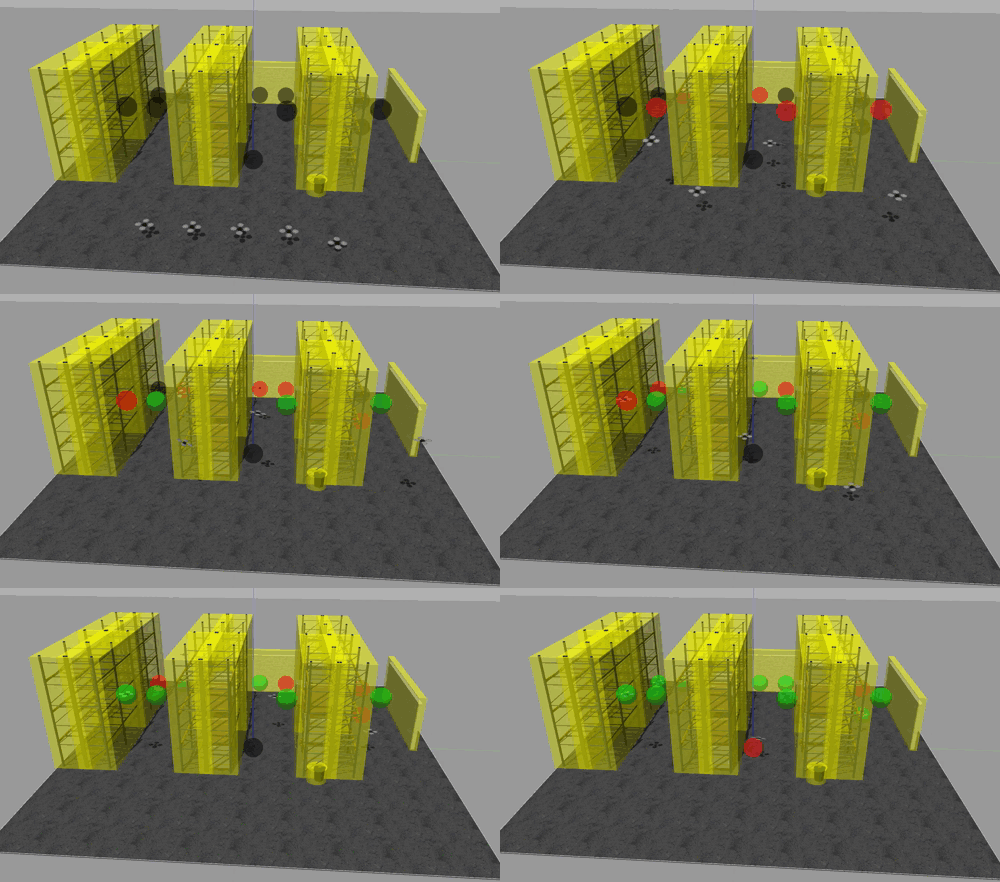
Simulation in Gazebo
Our simulation environment in Gazebo allows convenient testing and debugging of multi-robot applications.

Formal verification of Koord Applications
We are working on Koord enabled formal verification of multi-robot applications using a variety of validation tools.

ROS for lower level functionality
Control and actuation in the CyPhyHouse toolchain are done in simulation and deployment using ROS.
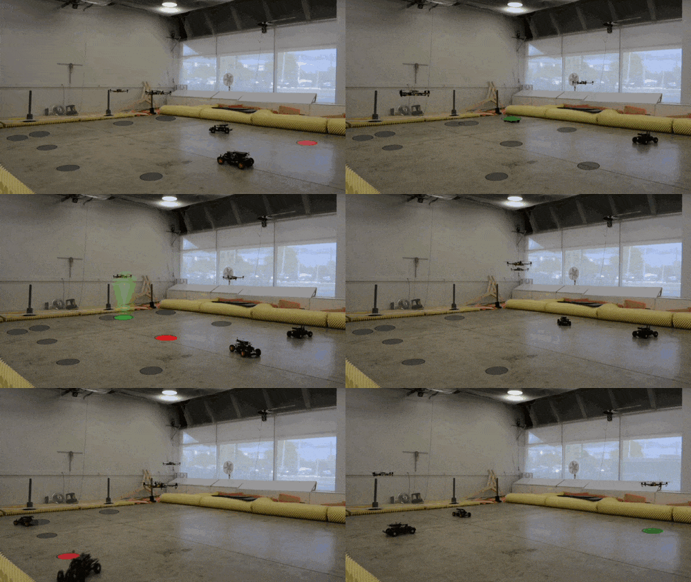
Deployment at Intelligent Robotics Lab
We have deployed several Koord applications in the Flight Arena (equipped with VICON) at the IRL at UIUC.
Towards Verified Robot Code
Talk at Workshop on Safe Autonomy: Learning, Verification, and Trusted Operation of Autonomous Systems with c3.ai
An overview of CyPhyHouse
A quick overview of CyPhyHouse, including the design of a distributed task allocation application
Abstractions for Programming Distributed Robotic Applications
Talk at Workshop on Safe Operation of Connected and Autonomous Vehicle Fleets
Koord: A Language for Programming and Verifying Distributed Robotics Applications
Video presentation for OOPSLA 2020 on Koord programming language and verification
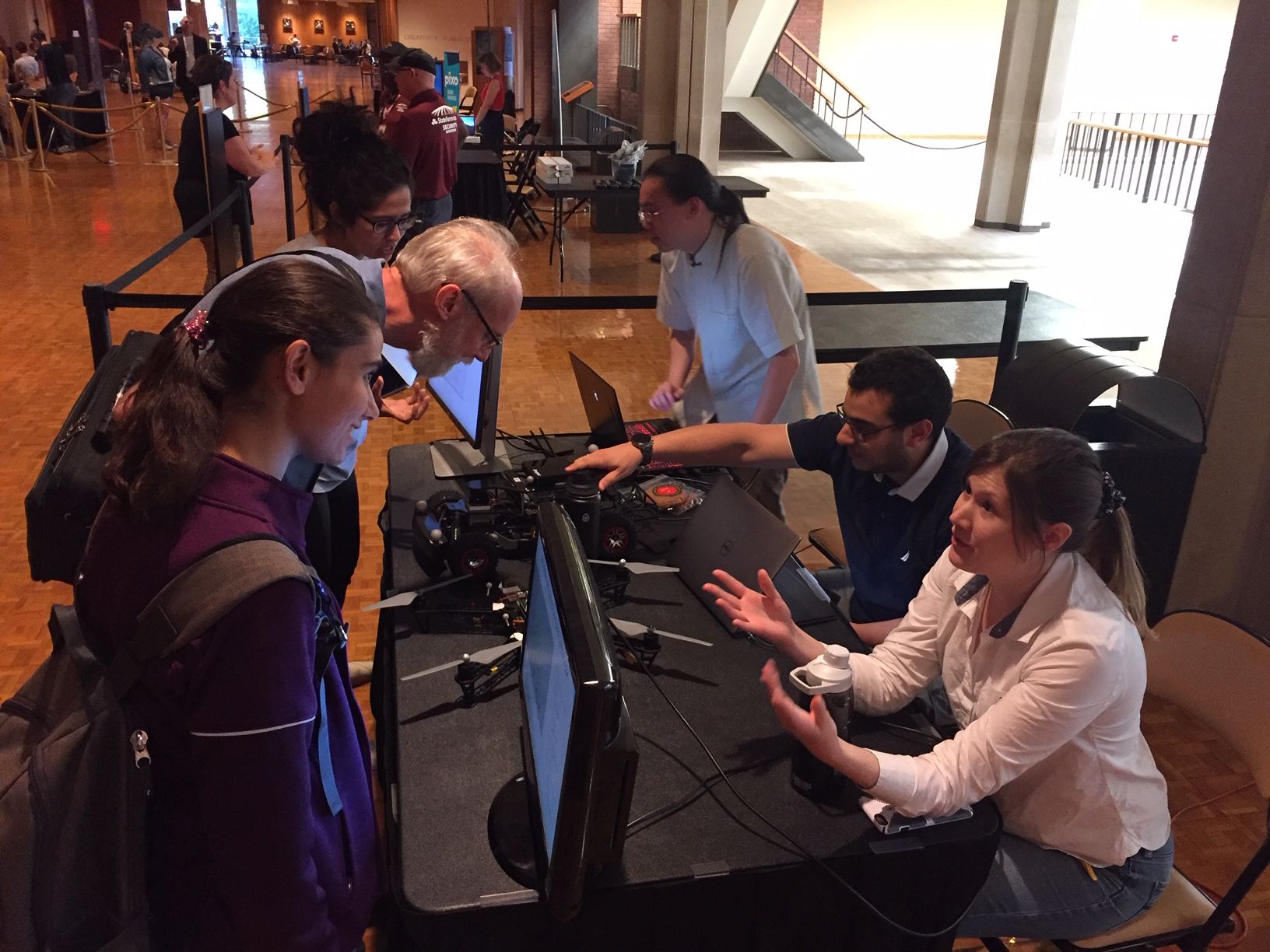
CyPhyHouse at the Pygmalion Festival 2019
Student researchers interacting with the local community about CyPhyHouse.
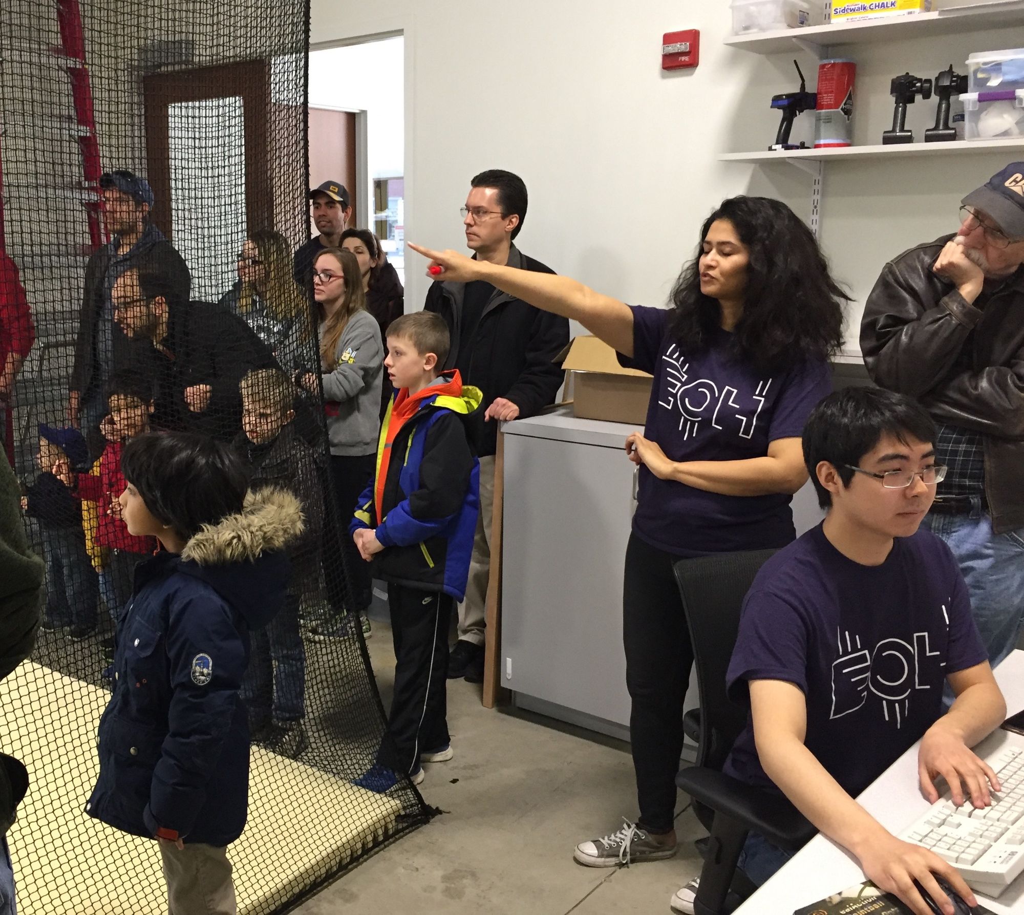
Engineering Open House 2018
A successful demo at the EOH 2018 of a firefighting application.
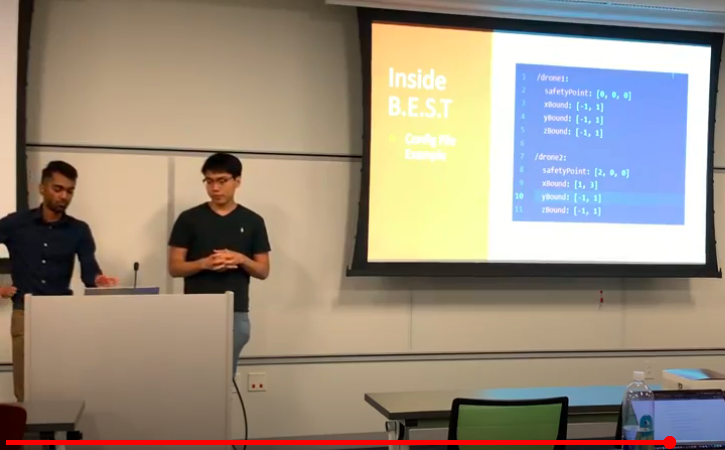
End of Summer Workshop for Undergraduate Researchers on CyPhyHouse
Celebrating a productive summer with some of our talented and hard-working undergraduate team members.
Simulation of Drone Formation Flight using CyPhyHouse
Simulation video of drone formation flight in our simulation environment in Gazebo. Drones automatically align themselves with their neighbors through communication except for the drones at the corners.
Simulation of Task Application using CyPhyHouse
Simulation video of distributed task allocation in our simulation environment. The grey circles are unassigned tasks, red are assigned, and green are completed.
Simulation of Mapping Application using CyPhyHouse
A mapping application simulated in the Gazebo simulation environment, where two robots collaboratively build an approximate map of unknown static obstacles using LIDAR sensing.